Home/Educational/Maps and Geography/A Child's Neighborhood Map Showing A School, Park, Library, Fire Station, And Houses With Streets
A Child's Neighborhood Map Showing A School, Park, Library, Fire Station, And Houses With Streets
Maps and Geography · Educational
Kids (4-6)medium
A medium coloring page featuring a child's neighborhood map showing a school, park, library, fire station, and houses with streets. Perfect for kids (4-6) with moderately detailed outlines for a fun coloring experience.
Page Details
CategoryEducational → Maps and GeographyAge RangeKids (4-6)DifficultymediumFile Size1024 × 1024 pxFormatPNG + Print-ready PDF
More Maps and Geography Coloring Pages
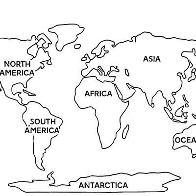
A Simple World Map Showing The Seven Continents With Their Names Labeled
Kids (6-9)medium
Download Free
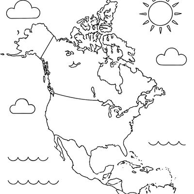
A Map Of North America With The United States, Canada, And Mexico Outlined And Labeled
Kids (6-9)medium
Download Free
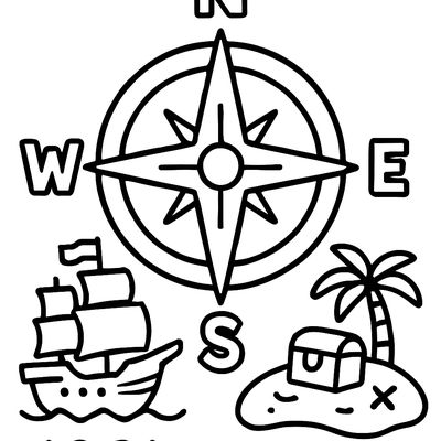
A Compass Rose Showing North, South, East, And West With A Pirate Ship And Treasure Island
Kids (4-6)simple
Download Free

Famous World Landmarks Side By Side: Eiffel Tower, Great Wall, Pyramids, Statue Of Liberty, Taj Mahal
Tweens (9-12)detailed
Download Free
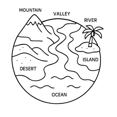
The Earth Showing Different Landforms Labeled: Mountain, Valley, River, Island, Desert, Ocean
Kids (6-9)medium
Download Free
More Educational Coloring Pages
Save 3,400+ more like this
Like “A Child's Neighborhood Map Showing A School, Park, Library, Fire Station, And Houses With Streets”? Browse the full Educational collection, make your own custom coloring book on this theme, or turn a favorite photo into a coloring page in seconds.