Home/Educational/Maps and Geography/A Map Of North America With The United States, Canada, And Mexico Outlined And Labeled
A Map Of North America With The United States, Canada, And Mexico Outlined And Labeled
Maps and Geography · Educational
Kids (6-9)medium
A medium coloring page featuring a map of North America with the United States, Canada, and Mexico outlined and labeled. Perfect for kids (6-9) with moderately detailed outlines for a fun coloring experience.
Page Details
CategoryEducational → Maps and GeographyAge RangeKids (6-9)DifficultymediumFile Size1024 × 1024 pxFormatPNG + Print-ready PDF
More Maps and Geography Coloring Pages
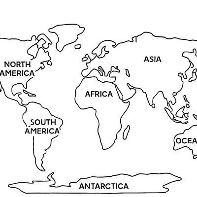
A Simple World Map Showing The Seven Continents With Their Names Labeled
Kids (6-9)medium
Download Free
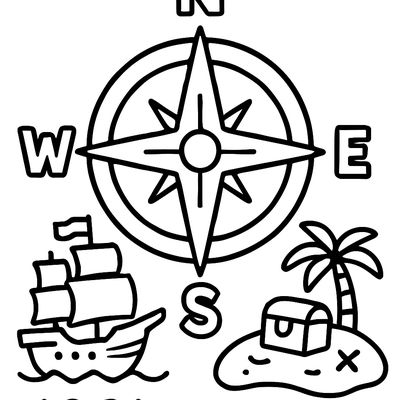
A Compass Rose Showing North, South, East, And West With A Pirate Ship And Treasure Island
Kids (4-6)simple
Download Free
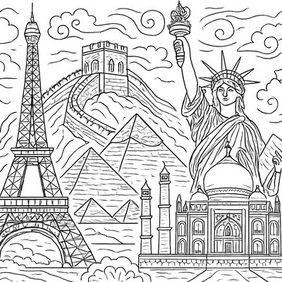
Famous World Landmarks Side By Side: Eiffel Tower, Great Wall, Pyramids, Statue Of Liberty, Taj Mahal
Tweens (9-12)detailed
Download Free
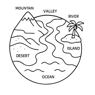
The Earth Showing Different Landforms Labeled: Mountain, Valley, River, Island, Desert, Ocean
Kids (6-9)medium
Download Free
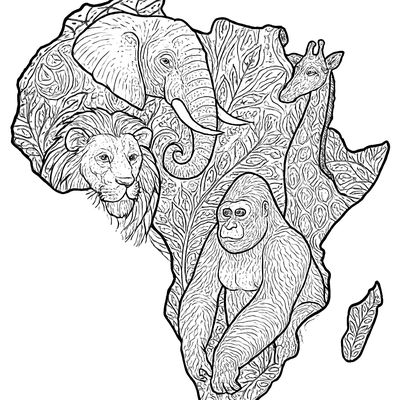
A Map Of Africa With Animals Placed In Their Native Regions: Elephants, Lions, Giraffes, Gorillas
Kids (6-9)detailed
Download Free
More Educational Coloring Pages
Save 3,400+ more like this
Like “A Map Of North America With The United States, Canada, And Mexico Outlined And Labeled”? Browse the full Educational collection, make your own custom coloring book on this theme, or turn a favorite photo into a coloring page in seconds.